Image GVP-07731
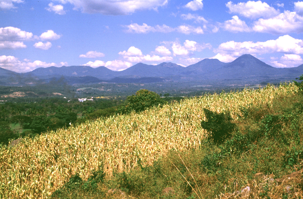
The Apaneca Range is seen here from the SE. This elongated group of Pleistocene and Holocene edifices lies in western El Salvador, between the Santa Ana complex and the Guatemala border. The 5-km-wide Pleistocene Concepción de Ataco caldera lies beyond the flat ridge to the left; to its right are Cerro Cachio, Cerro de las Rana, Cerro el Aguila, and conical Cerro los Naranjos. The Apaneca Range is the site of the major geothermal field of Ahuachapán.
Photo by Lee Siebert, 1999 (Smithsonian Institution).
![]() This image is made available under the Public Domain Dedication CC0 license, but proper attribution is appreciated.
This image is made available under the Public Domain Dedication CC0 license, but proper attribution is appreciated.
Keywords: stratovolcano

Apaneca Range