Image GVP-08040
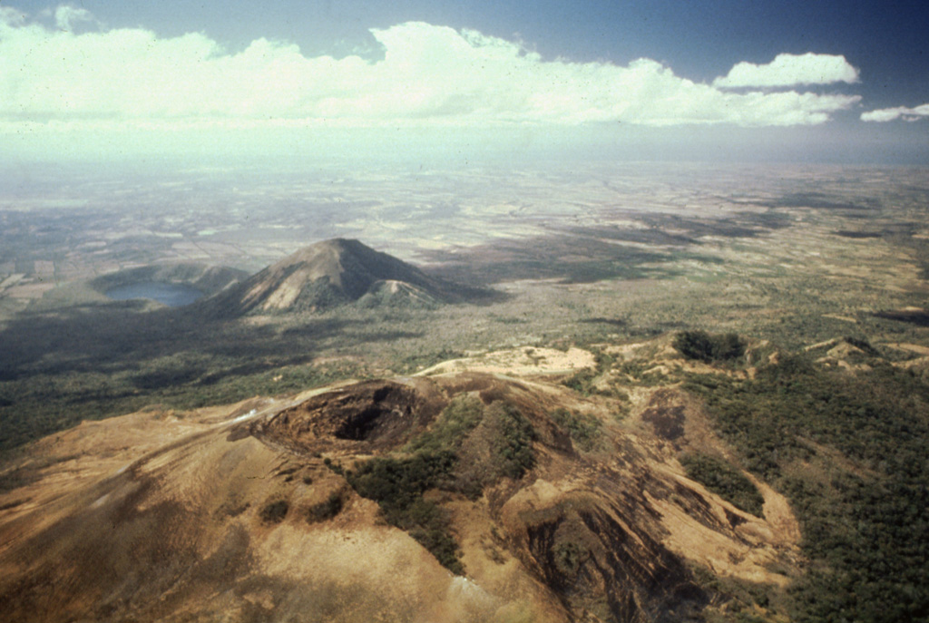
Volcán Las Pilas lies in the foreground in this aerial view of Las Pilas volcanic complex from the north. The diagonal line cutting across from left of the summit crater to the bottom center is the fissure from the 1952 eruption. The forested crater at the middle right is Cerro Ojo de Agua. The conical peak in the middle distance is Cerro Asososca, and immediately to its left is Laguna de Asososca maar. Two other dry maars are located in the Nicaraguan depression between Laguna de Asososca and the tip of Lake Managua at the upper left.
Photo by Alain Creusot-Eon, 1980 (courtesy of Jaime Incer).
![]() This image is made available under the Creative Commons BY-NC 4.0 license terms.
This image is made available under the Creative Commons BY-NC 4.0 license terms.
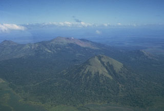
Las Pilas-El Hoyo Complex