Image GVP-08069
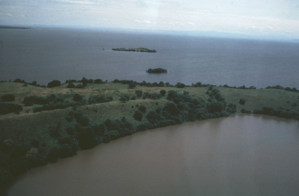
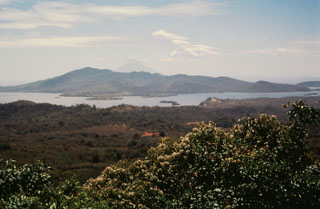
The low-rimmed Zapatera maar in the foreground is part of a maar complex at the NW tip of Zapatera Island on the western side of Lake Nicaragua. Remnants of other maars form small islets offshore. The surface of Lake Nicaragua, the country's largest body of water, lies only 30 m above sea level. The northern shore of the lake in the distance is about 35 km from Isla Zapatera. The long axis of the 70 x 160 km wide lake parallels the NW-SE trend of the Nicaraguan central depression.
Photo by Jaime Incer, 1982.
![]() This image is made available under the Creative Commons BY-NC 4.0 license terms.
This image is made available under the Creative Commons BY-NC 4.0 license terms.
Zapatera