Image GVP-08426
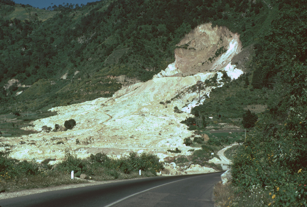
The 80-m-high headwall scarp of the 5 January 1991 landslide at the Almolonga volcano Zunil geothermal field exposes the regional Zunil fault zone. The avalanche deposit extends about 800 m from the source and damaged the highway between Quetzaltenango and the town of Retalhuleu on the Pacific coastal plain. The avalanche destroyed a church and more than a half-dozen houses, killing 23 people. The elevation difference from the head of the scarp to the distal end of the deposit was 250 m.
Photo by Lee Siebert, 1993 (Smithsonian Institution).
![]() This image is made available under the Public Domain Dedication CC0 license, but proper attribution is appreciated.
This image is made available under the Public Domain Dedication CC0 license, but proper attribution is appreciated.
Galleries: Debris Avalanches / Landslides | Geothermal Features
Keywords: landslide | geothermal | human impacts | landslide scarp
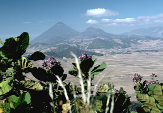
Almolonga