Image GVP-10492
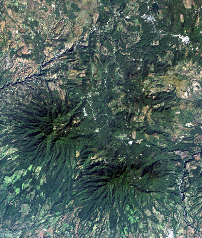
The top-center portion of this Landsat image consists of topographically indistinct Piedra Grande, a cluster of faulted, heavily eroded andesitic stratovolcanoes. The Piedra Grande complex lies between the NW-trending Jalpatagua Fault, which cuts diagonally through the city of Barbarena (the small white area at the upper right), and Tecuamburro volcano (lower right). The vent area of Piedra Grande lies within 4-km-wide, nested depressions open to the east, NE of the more prominent forested Puebla Nuevo Viñas volcano (left center).
NASA Landsat image, 2000 (courtesy of Loren Siebert, University of Akron).
![]() This image is made available under the Creative Commons BY-NC 4.0 license terms.
This image is made available under the Creative Commons BY-NC 4.0 license terms.

Piedra Grande