Image GVP-11128
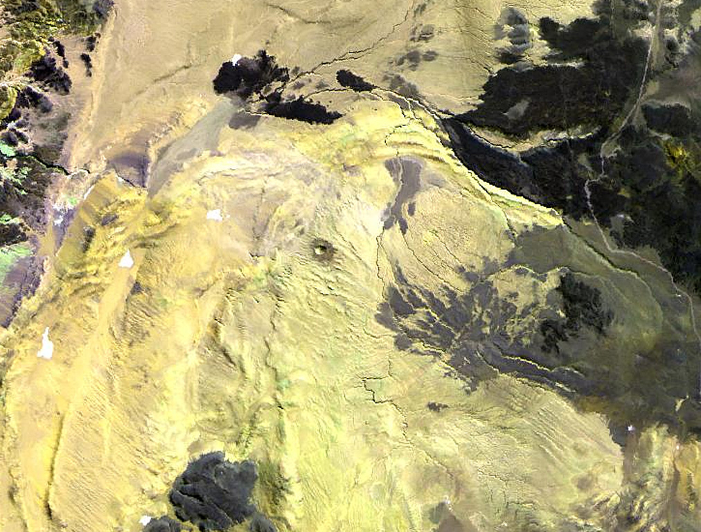
The small dot near the center of this Landsat image is the Cerro Tujle maar (also known as Cerro Tucle or Cerro Tugle). The Holocene maar has a 60-m-deep crater and is surrounded by a dark-colored ejecta blanket. The maar is located SE of the Salar de Atacama, north of Cerro Toloncha.
NASA Landsat image, 1999 (courtesy of Hawaii Synergy Project, Univ. of Hawaii Institute of Geophysics & Planetology).
![]() This image is made available as a Public Domain Work, but proper attribution is appreciated.
This image is made available as a Public Domain Work, but proper attribution is appreciated.
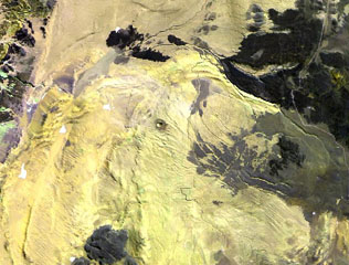
Cerro Tujle