Image GVP-11148
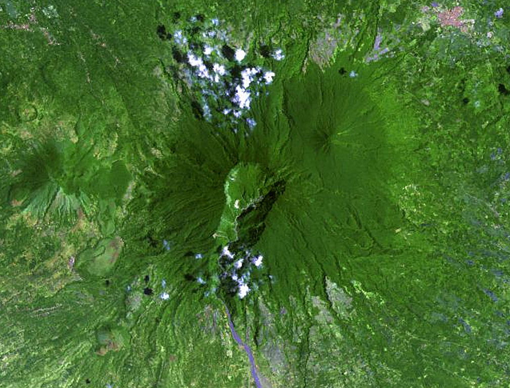
The large 2-km-wide, 600-m-deep crater that extends down the SSW flank of Banahaw contained a crater lake until 1730, when it drained, producing lahars. The smaller San Cristóbal and Banáhao de Lucban have formed on the W and E flanks, respectively. Andesite-to-dacite lava domes formed on the flanks of Banahaw and San Cristobal.
NASA Landsat image, 2002 (courtesy of Hawaii Synergy Project, Univ. of Hawaii Institute of Geophysics & Planetology).
![]() This image is made available as a Public Domain Work, but proper attribution is appreciated.
This image is made available as a Public Domain Work, but proper attribution is appreciated.
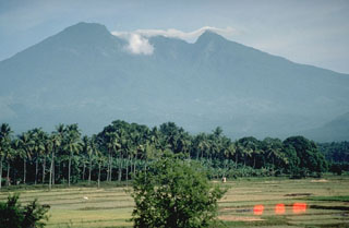
Banahaw