Image GVP-11170
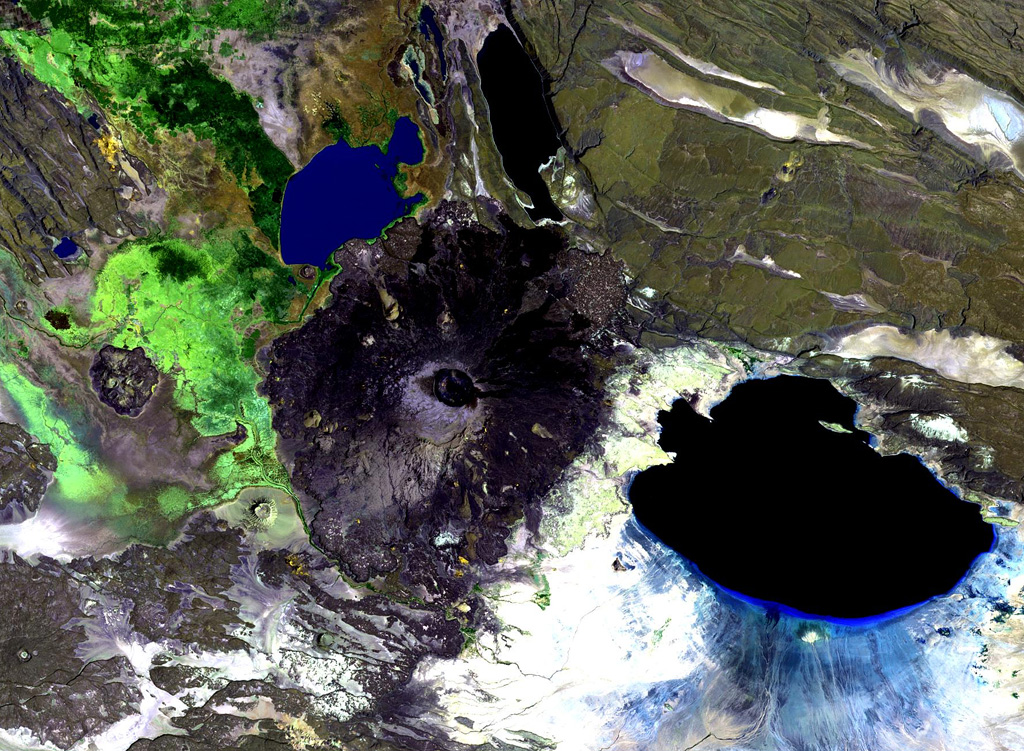
Dama Ali is a broad shield volcano that rises above the NW shore of Lake Abhe (right) at the S end of the Kalo Plain and was the most likely source of an eruption reported to have occurred in 1631. Nested circular craters are located at the summit and an arcuate chain of rhyolitic lava domes can be seen on the N, W, and S flanks. Major fumarolic activity occurs in the summit crater and abundant hot springs occur on the volcano.
NASA Landsat image, 1999 (courtesy of Hawaii Synergy Project, Univ. of Hawaii Institute of Geophysics & Planetology).
![]() This image is made available as a Public Domain Work, but proper attribution is appreciated.
This image is made available as a Public Domain Work, but proper attribution is appreciated.
Keywords: remote sensing | shield volcano | crater
Dama Ali