Image GVP-11216
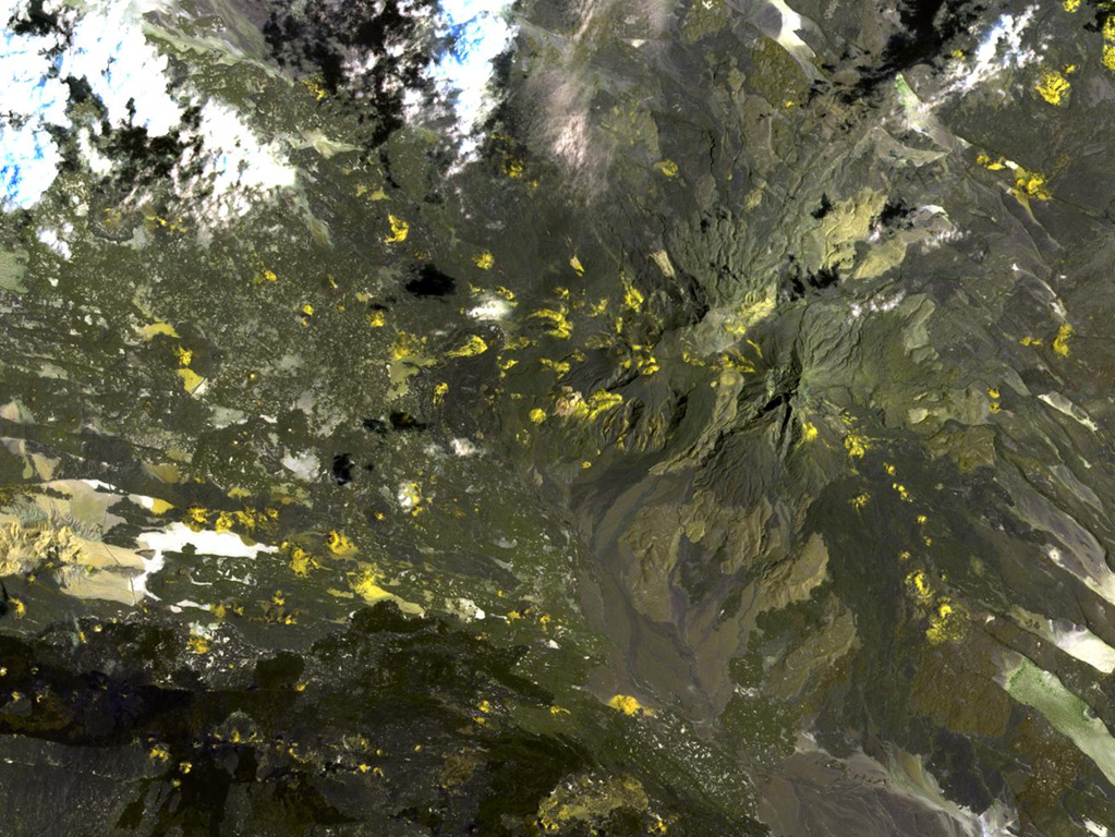
Mousa Alli volcano dominates the right-hand side of this NASA Landsat image and is located on the border between Ethiopia, Eritrea, and Djibouti. This volcano is the most prominent topographic feature in this area and towers above its neighbor to the SW, Manda Inakir, visible at the lower left. Yellow-colored basaltic pyroclastic cones and associated lava flows occupy the SE and NW flanks.
NASA Landsat image, 1999 (courtesy of Hawaii Synergy Project, Univ. of Hawaii Institute of Geophysics & Planetology).
![]() This image is made available as a Public Domain Work, but proper attribution is appreciated.
This image is made available as a Public Domain Work, but proper attribution is appreciated.
Mousa Alli