Image GVP-11727
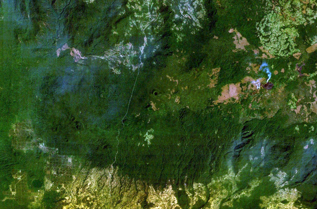
The densely forested Tepi basaltic shield volcano lies about 300 km west of the Ethiopian Rift in southern Ethiopia. A small crater near the center of this NASA Landsat image (with north to the top) is one of many features on this broad volcano. Lava flows have traveled down pre-existing valleys, and there are active hot springs. The smoke plume at the right is from a vegetation fire.
NASA Landsat 7 image (worldwind.arc.nasa.gov)
![]() This image is made available as a Public Domain Work, but proper attribution is appreciated.
This image is made available as a Public Domain Work, but proper attribution is appreciated.

Tepi