Image GVP-11747
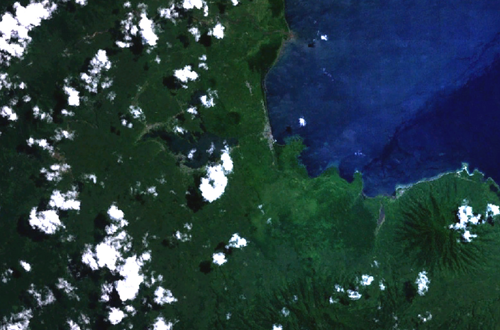
Two cinder cones with circular craters are located above the center of this NASA Landsat image of northern Halmahera Island (with north to the top). The cones lie between Galela Lake and Galela Bay (upper right), with the town of Galela on its shore. Tarakan Lamo (on the east side of the lake) and Tarakan Itji (to the NW of Tarakan Lamo) have well-formed summit craters 800 and 500 m in diameter and 160 and 125 m deep, respectively.
NASA Landsat 7 image (worldwind.arc.nasa.gov)
![]() This image is made available as a Public Domain Work, but proper attribution is appreciated.
This image is made available as a Public Domain Work, but proper attribution is appreciated.

Tarakan