Image GVP-11802
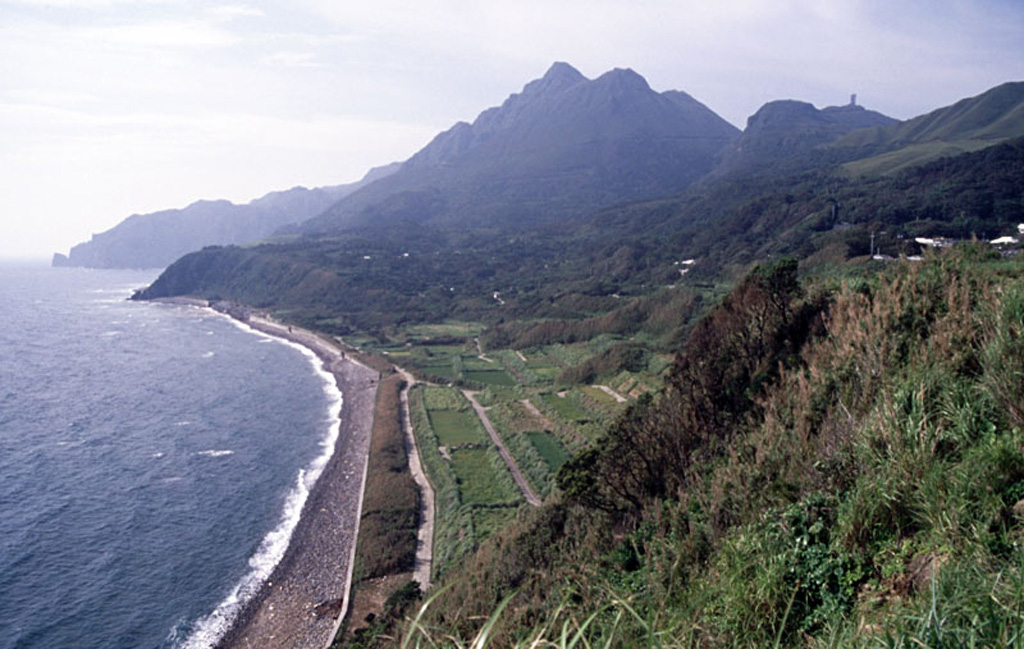
The center peak is the Maedake lava dome that rises above the E coast of Kuchinoshima and forms the high point of the island. The flat-topped Yokodake peak is to the upper right. Kuchinoshima lies in the northern Ryukyu Islands between the volcanic islands of Nakanoshima and Kuchinoerabujima.
Copyrighted photo by Shun Nakano, 2005 (Japanese Quaternary Volcanoes database, RIODB, http://riodb02.ibase.aist.go.jp/strata/VOL_JP/EN/index.htm and Geol Surv Japan, AIST, http://www.gsj.jp/).
Copyrighted image used with permission. All Rights Reserved. Contact photographer for any usage requests.
Keywords: lava dome

Kuchinoshima