Image GVP-11870

Clark submarine volcano is viewed here from the SE. The location of a submersible dive took place a New Zealand-American NOAA Vents Program expedition is indicated. Depths range from 860 to 2,585 m. The resolution of the bathymetry data is 25 m. The image is two times vertically exaggerated. The bathymetry data are courtesy of New Zealand National Institute of Water and Atmospheric Research (NIWA).
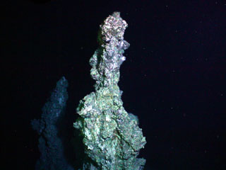
Image courtesy of New Zealand-American Submarine Ring of Fire 2005 Exploration, NOAA Vents Program.
![]() This image is made available as a Public Domain Work, but proper attribution is appreciated.
This image is made available as a Public Domain Work, but proper attribution is appreciated.
Keywords: submarine volcano | stratovolcano | remote sensing | technology | DEM | map | bathymetry
Clark