Image GVP-11887
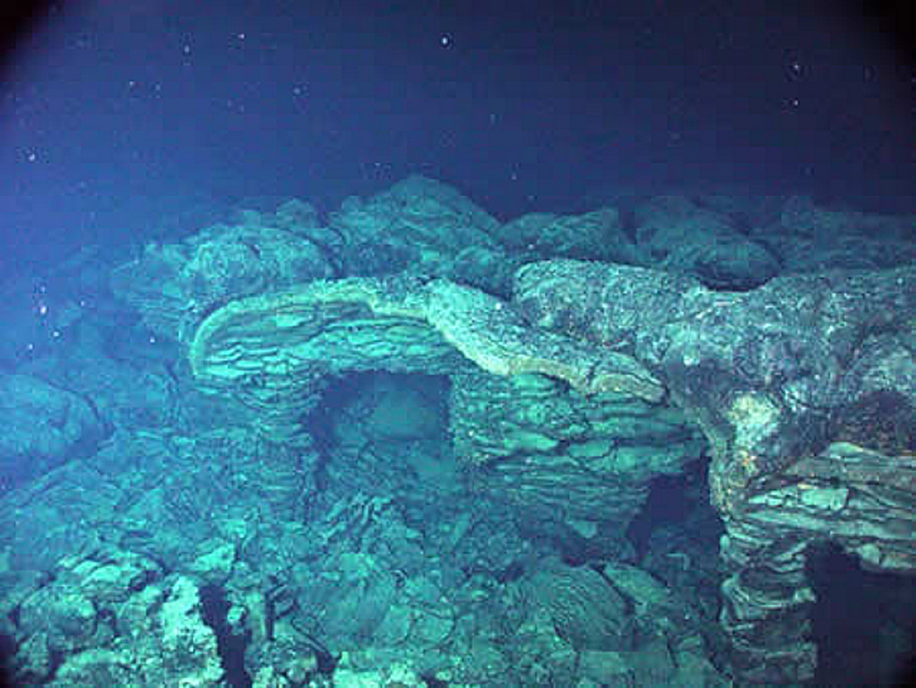
An eruption from the southern end of Axial caldera in 1998 produced this submarine lava flow that had undergone collapse, shown in this photo. Axial Seamount rises 700 m above the mean level of the central Juan de Fuca Ridge crest about 480 km W of Cannon Beach, Oregon, to within about 1.4 km of the ocean surface. The 3 x 8 km Axial caldera opens to the SE and is defined on three sides by caldera walls up to 150 m high. Hydrothermal vents colonized with biological communities are located near the caldera boundary or along the rift zones.
Photo courtesy of NOAA NeMo Observatory, 2006.
![]() This image is made available as a Public Domain Work, but proper attribution is appreciated.
This image is made available as a Public Domain Work, but proper attribution is appreciated.
Galleries: Submarine Volcanoes
Keywords: submarine volcano | lava

Axial Seamount