Image GVP-12269
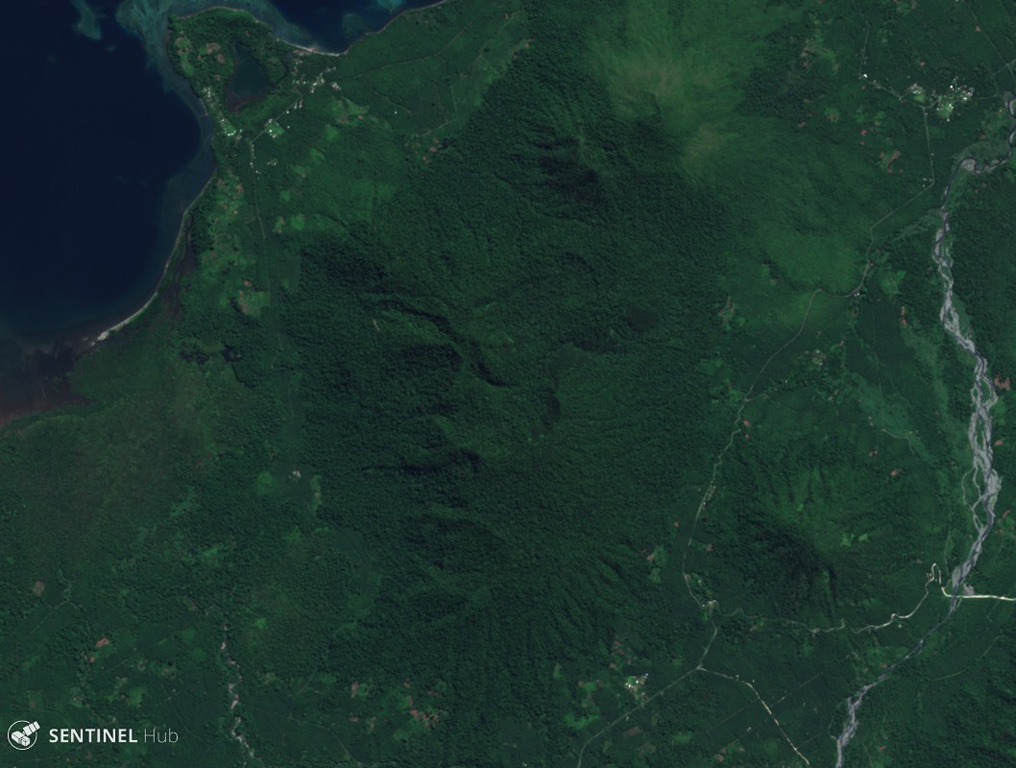
The Sulu Range in New Britain, Papua New Guinea spans this 25 July 2019 Sentinel-2 satellite image (N is at the top), with Mount Malopu in the center to the S, Mount Ululu and Ubia to the N, Mount Ruckenberg to the NE, and Mount Talutu dome to the SE. Kaiamu maar forms the peninsula extending about 1 km into Bangula Bay to the NW.
Satellite image courtesy of Copernicus Sentinel Data, 2019.
![]() This image is made available under the Creative Commons BY-SA 4.0 license terms.
This image is made available under the Creative Commons BY-SA 4.0 license terms.
Sulu Range