Image GVP-12312
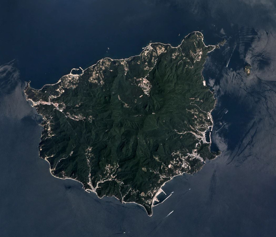
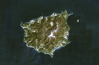
Ulreung volcano forms this small 12-km-wide island about 100 km east of the coast of the central Korean Peninsula. The extensively eroded edifice is seen in this Planet Labs June 2019 satellite image mosaic (N is at the top). It contains a caldera and was the site of a major explosive eruption at the beginning of the Holocene that produced pyroclastic flows and deposited ash across the Sea of Japan.
Satellite image courtesy of Planet Labs Inc., 2019 (https://www.planet.com/).
Copyrighted image used with permission. All Rights Reserved. Contact photographer for any usage requests.
Keywords: island volcano | erosion
Ulleungdo