Image GVP-12370
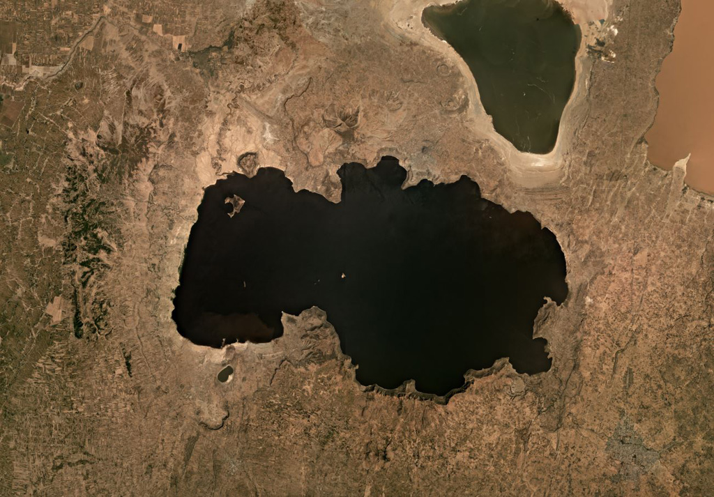
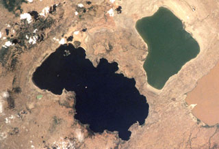
The eastern side of Lake Shala formed within the 17-km-wide O'a caldera, shown in this November 2019 satellite image monthly mosaic (N is at the top; this image is approximately 50 km across). The western part of the lake formed in a fault-controlled basin. The lake-filled Chitu maar is near the SW side of the Lake Shala.
Satellite image courtesy of Planet Labs Inc., 2019 (https://www.planet.com/).
Copyrighted image used with permission. All Rights Reserved. Contact photographer for any usage requests.
Keywords: caldera
Shala