Image GVP-12398
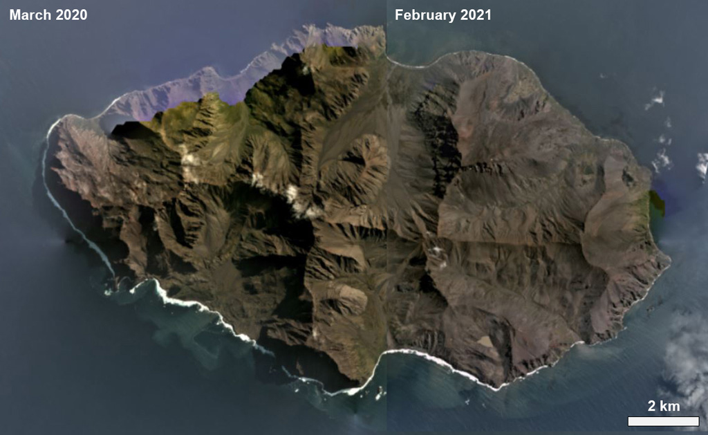
The 17.5-km-wide Ile de l' Est in the Crozet Archipelago is shown in this combined March 2020/February 2021 Planet Labs satellite image monthly mosaics. The island is largely eroded by glaciation and also contains younger scoria cones, most of which are on the eastern side.
Satellite image courtesy of Planet Labs Inc., 2021 (https://www.planet.com/).
Copyrighted image used with permission. All Rights Reserved. Contact photographer for any usage requests.
Keywords: island volcano | erosion
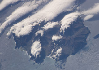
Ile de l' Est