Image GVP-12427
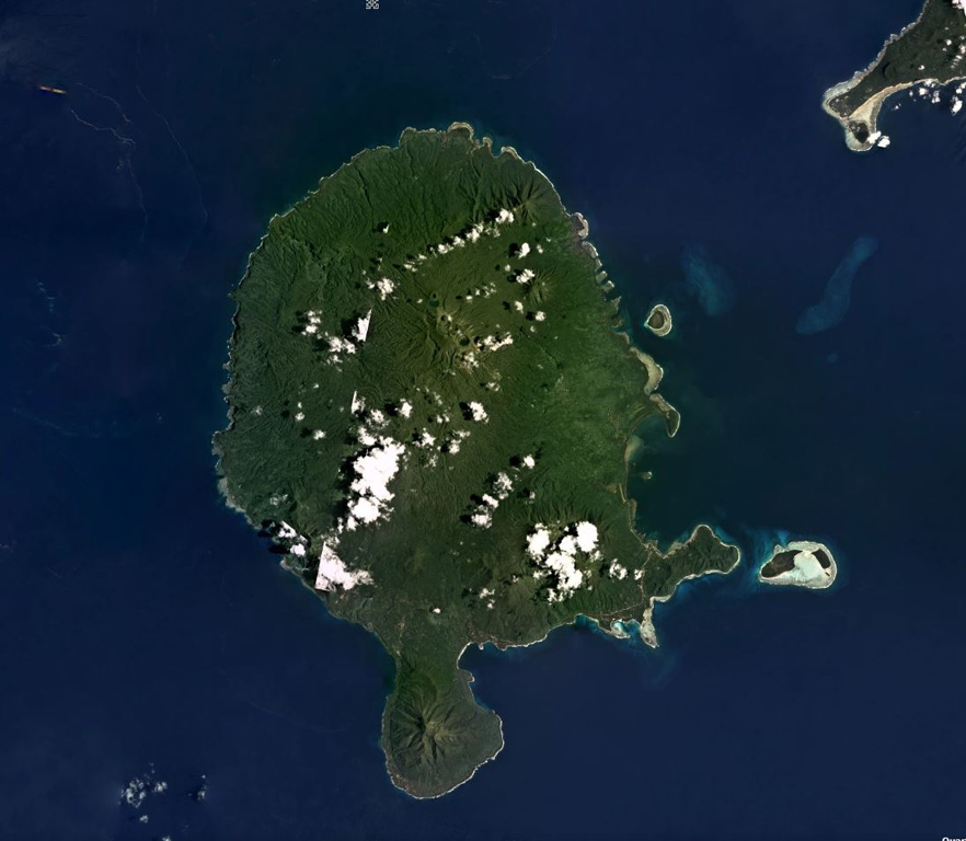
Vanua Lava Island of Vanuatu is shown in this February 2018 Planet Labs satellite image monthly mosaic (N is at the top; this image is approximately 40 km across). The majority of cones, craters, and features are in the northern part of the island, and comprise the Surematai volcano. The Pleistocene Ngere Kwon volcano formed the southernmost peninsula.
Satellite image courtesy of Planet Labs Inc., 2018 (https://www.planet.com/).
Copyrighted image used with permission. All Rights Reserved. Contact photographer for any usage requests.
Suretamatai