Image GVP-12490
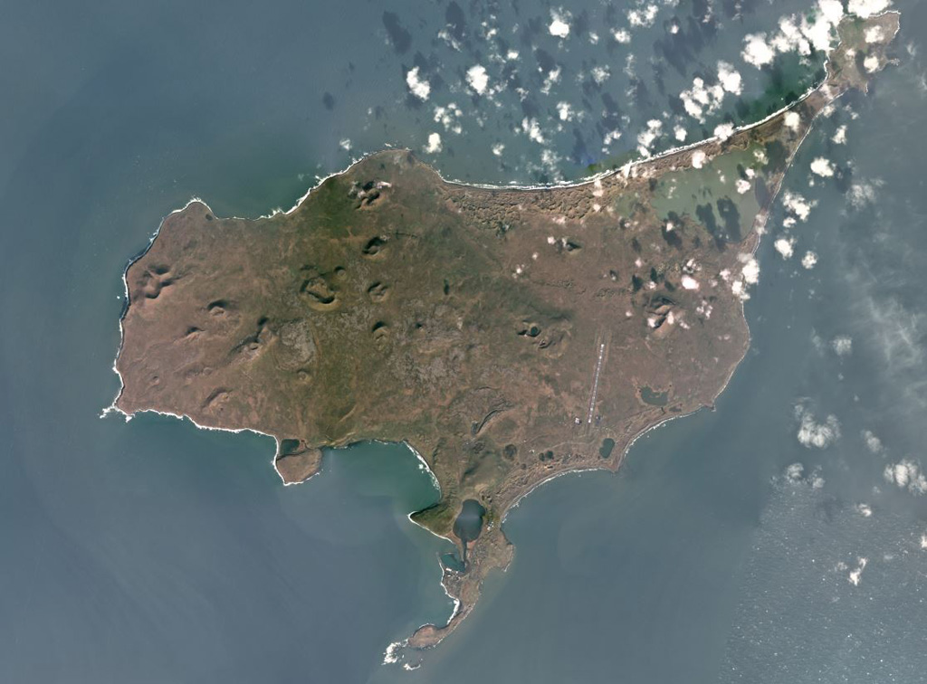
St. Paul island, one of the Pribilof Islands in the Bering Sea, is composed of overlapping scoria cones, spatter cones, and lava flows, shown in this October 2017 Planet Labs satellite image monthly mosaic (N is at the top; this image is approximately 23 km across). Cones include the westernmost Rush hill, Black Bluffs scoria cone on the southern peninsula, the Bogoslof Hill complex in the center, and North Hill along the northern coastline.
Satellite image courtesy of Planet Labs Inc., 2017 (https://www.planet.com/).
Copyrighted image used with permission. All Rights Reserved. Contact photographer for any usage requests.
Keywords: scoria cone | crater
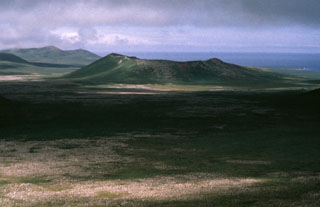
St. Paul Island