Image GVP-12519
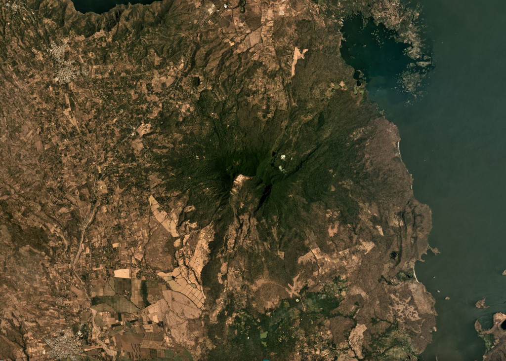
Two major flank-collapse scarps on the NE and SW sides of Mombacho are visible in this March 2019 Planet Labs satellite image monthly mosaic (N is at the top; this image is approximately 25 km across). The islands to the NE are part of the 56.8 km2 Las Isletas debris avalanche deposit; the 49.5 km2 El Crater debris avalanche deposit is to the S. The La Danta debris avalanche deposit is between the two on the SE flank and surrounding area.
Satellite image courtesy of Planet Labs Inc., 2019 (https://www.planet.com/).
Copyrighted image used with permission. All Rights Reserved. Contact photographer for any usage requests.
Galleries: Debris Avalanches / Landslides
Keywords: landslide | sector collapse | hummock | landslide scarp | debris avalanche deposit | environmental impact
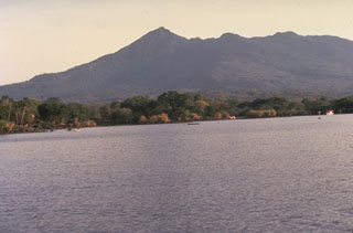
Mombacho