Image GVP-12546
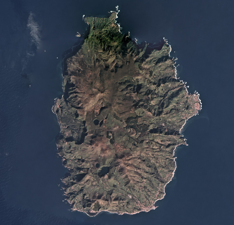
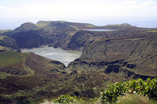
In the Azores archipelago west of the Mid-Atlantic Ridge is the 12 x 17 km Flores Island, shown in this February 2018 Planet Labs satellite image monthly mosaic (N is at the top). Initially a submarine volcano, the island formed through the eruption of different vents, forming cones, craters, maars, and associated eruption products like lava flows.
Satellite image courtesy of Planet Labs Inc., 2019 (https://www.planet.com/).
Copyrighted image used with permission. All Rights Reserved. Contact photographer for any usage requests.
Keywords: island volcano | crater | maar
Flores