Image GVP-12666
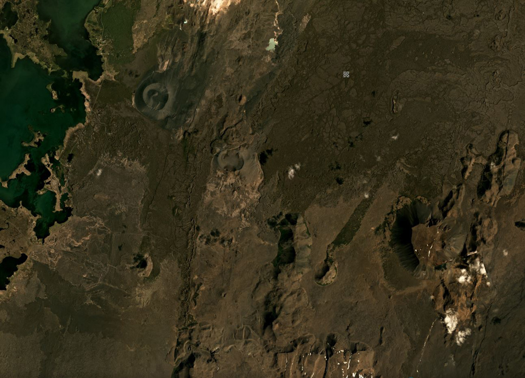
Heiðarsporðar (Heidarspordar) is about 22 km in length, with a smaller area shown in this June 2019 Planet Labs satellite image monthly mosaic (N is at the top; this image is approximately 20 km across). Around 2,200 years ago it produced a lava field around 220 km2 in size, reaching 60 km away from the source. The darker area in the upper left corner is Mývatn lake.
Satellite image courtesy of Planet Labs Inc., 2019 (https://www.planet.com/).
Copyrighted image used with permission. All Rights Reserved. Contact photographer for any usage requests.
Keywords: scoria cone
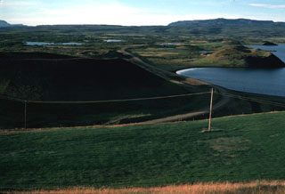
Heiðarsporðar