Report on Ioto (Japan) — 16 June-22 June 2010
Smithsonian Institution / US Geological Survey
Weekly Volcanic Activity Report, 16 June-22 June 2010
Managing Editor: Sally Sennert.
Please cite this report as:
Global Volcanism Program, 2010. Report on Ioto (Japan) (Sennert, S, ed.). Weekly Volcanic Activity Report, 16 June-22 June 2010. Smithsonian Institution and US Geological Survey.
Ioto
Japan
24.751°N, 141.289°E; summit elev. 169 m
All times are local (unless otherwise noted)
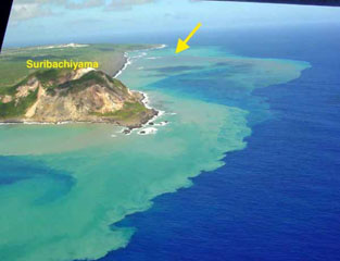
Based on a pilot observation, the Tokyo VAAC reported that an ash plume from Ioto (Iwo-jima) drifted more than 35 km N.
Geological Summary. Ioto, in the Volcano Islands of Japan, lies within a 9-km-wide submarine caldera. The volcano is also known as Ogasawara-Iojima to distinguish it from several other "Sulfur Island" volcanoes in Japan. The triangular, low-elevation, 8-km-long island narrows toward its SW tip and has produced trachyandesitic and trachytic rocks that are more alkalic than those of other volcanoes in this arc. The island has undergone uplift for at least the past 700 years, accompanying resurgent doming of the caldera; a shoreline landed upon by Captain Cook's surveying crew in 1779 is now 40 m above sea level. The Motoyama plateau on the NE half of the island consists of submarine tuffs overlain by coral deposits and forms the island's high point. Many fumaroles are oriented along a NE-SW zone cutting through Motoyama. Numerous recorded phreatic eruptions, many from vents on the W and NW sides of the island, have accompanied the uplift.