
Smithsonian Institution / US Geological Survey
Weekly Volcanic Activity Report, 7 January-13 January 2004
Managing Editor: Gari Mayberry
Please cite this report as:
Global Volcanism Program, 2004. Report on Miyakejima (Japan) (Mayberry, G, ed.). Weekly Volcanic Activity Report, 7 January-13 January 2004. Smithsonian Institution and US Geological Survey. https://volcano.si.edu/showreport.cfm?gvpvar=GVP.WVAR20040107-284040
As of 8 January, gas emissions continued at Miyake-jima. The sulfur-dioxide flux was relatively high (about 4,000-9,000 tons per day) and had remained nearly constant since October 2002. Residents of Miyake-jima have been evacuated from the island since September 2000.
Source: Geological Survey of Japan
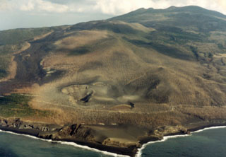
Geological Summary. The circular, 8-km-wide island of Miyakejima forms a low-angle stratovolcano that rises about 1,100 m from the sea floor in the northern Izu Islands about 200 km SSW of Tokyo. The basaltic volcano is truncated by small summit calderas, one of which, 3.5 km wide, was formed during a major eruption about 2,500 years ago. Numerous craters and vents, including maars near the coast and radially oriented fissure vents, are present on the flanks. Frequent eruptions have been recorded since 1085 CE at vents ranging from the summit to below sea level, causing much damage on this small populated island. After a three-century-long hiatus ending in 1469 CE, activity has been dominated by flank fissure eruptions sometimes accompanied by minor summit eruptions. A 1.6-km-wide summit crater was slowly formed by subsidence during an eruption in 2000.


 Miyakejima