Image GVP-00356
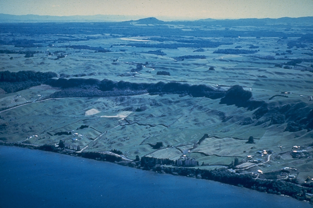
The northern margin of the 17-km-wide Rotorua caldera is defined by the dark line of trees along the cliff at the center of the photo. A succession of terraces marking former lake levels can be seen on the shore of Rotorua Lake. Rotorua is the NW-most of a cluster of calderas forming the Taupo Volcanic Zone in the central North Island.
Photo by Lloyd Homer (courtesy of Bruce Houghton, Wairakei Research Center).
![]() This image is made available under the Creative Commons BY-NC-ND 4.0 license terms.
This image is made available under the Creative Commons BY-NC-ND 4.0 license terms.
Galleries: Calderas
Keywords: caldera
Rotorua