Image GVP-02695
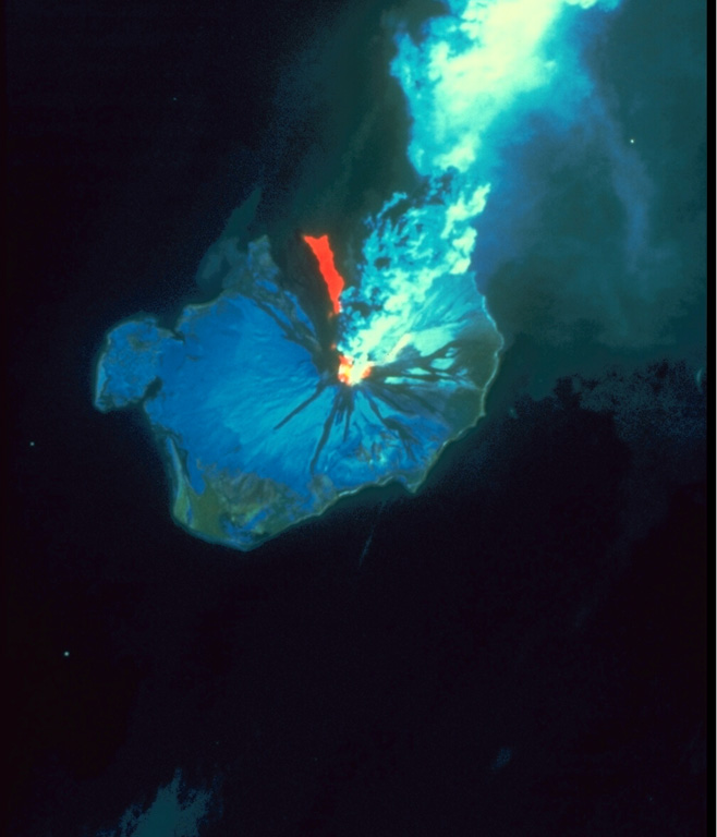
This Landsat thematic mapper image was acquired on 28 August 1986, as Augustine produced a powerful explosive eruption. An 11-km-high ash plume rises from the summit crater to the top of the false-color image. The red area in this false-color image is a hot pyroclastic flow deposit down the north flank. Snow and ice show up as shades of blue and vegetated areas along the coast are green. The dark areas descending the flanks are the paths of lahars and cooled pyroclastic flows.
NASA Landsat image, 1990.
![]() This image is made available under the Public Domain Dedication CC0 license, but proper attribution is appreciated.
This image is made available under the Public Domain Dedication CC0 license, but proper attribution is appreciated.
Galleries: Volcano Monitoring
Keywords: remote sensing | volcano monitoring | eruption | pyroclastic flow | ash plume | ash | plume | thermal infrared | explosive eruption
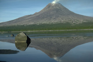
Augustine