Image Collection | Research and Impacts | Volcano Monitoring
There are 5,971 volcano images available on the GVP website, including 4,243 in these new galleries with updated captions and keywords, and at a larger size.
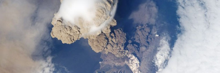
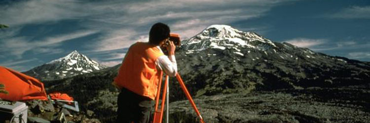
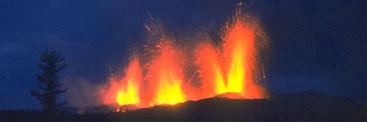
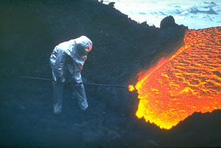
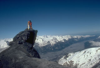
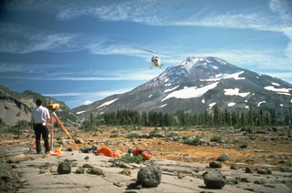
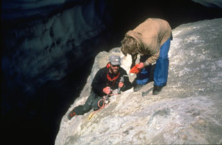
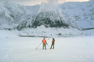
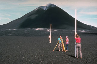
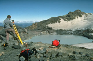
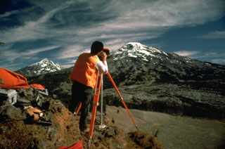
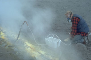
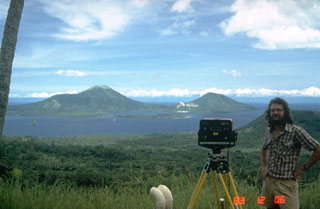
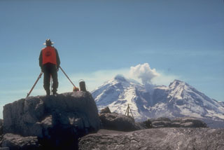
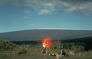
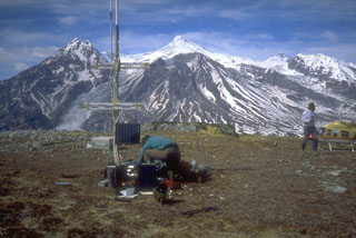
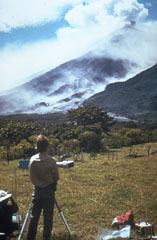
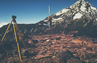
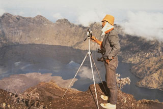
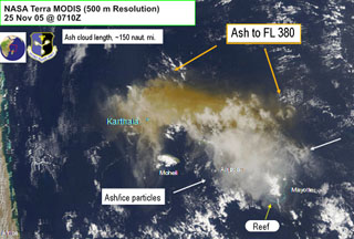
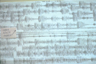
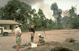
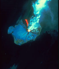
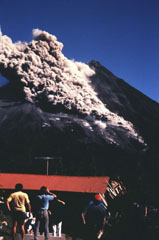
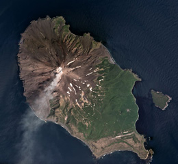
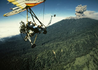
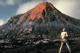
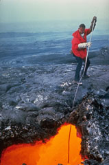
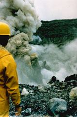
A range of monitoring tools and expertise are used to track the background (normal) activity and unrest at volcanoes. Monitoring volcanoes before activity begins allows warnings and eruption forecasts to be issued. Volcano monitoring techniques include seismology, ground deformation measurements (including GPS and InSAR), gas and water monitoring, gravity and magnetic measurements, geochemistry, hydrology, satellite data (including thermal), infrasound, drones, and visual monitoring including observation posts and webcams. Understanding the past eruptions through geologic studies is important to understand the future potential scenarios at specific volcanoes.
VOLFILM Video
Image Gallery for Volcano Monitoring
Associated Gallery Keywords
volcano monitoring | background | unrest | observatory | volcanologist | warning | forecast | seismology | deformation | remote sensing | thermal infrared | geochemistry | magnetic | gravity | hydrology | satellite data | drone | COSPEC | observation post | webcam | hazard | human impacts | geology | technology | field work | lab work | electronic-distance measurement