Image GVP-03406
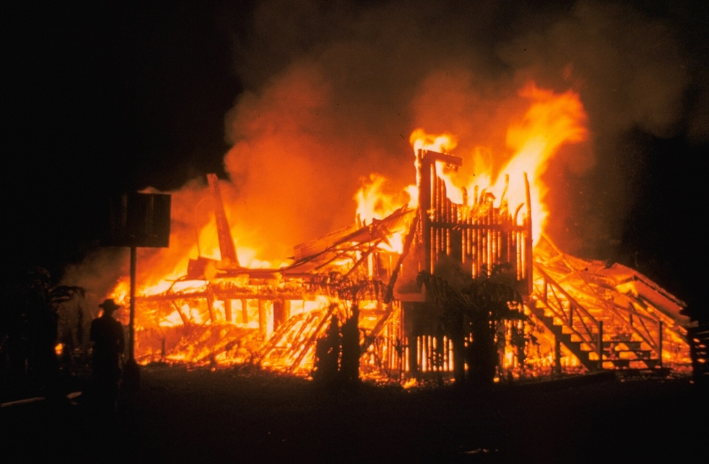
Lava flows from the 1955 eruption low on the East Rift Zone of Kīlauea destroyed 15 houses on the outskirts of Kapoho village. The main part of the village was not impacted, only to be destroyed by another eruption five years later.
Photo by Jerry Eaton. 1955 (U.S. Geological Survey).
![]() This image is made available as a Public Domain Work, but proper attribution is appreciated.
This image is made available as a Public Domain Work, but proper attribution is appreciated.
Galleries: Lava Flows | Human Impacts
Keywords: lava flow | fire | human impacts | damaged structures

Kilauea