Image GVP-07977

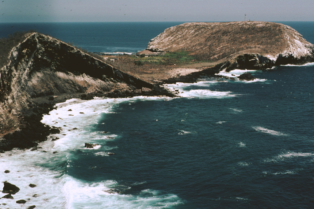
The flat-topped Cerro El Faro cone (upper right) lies across a low isthmus at the southernmost tip of Isla Isabel. It is seen here across the Acantilado Mayor Bay from Cerro del Mirador, the high point of the small 1.5-km-long island. Wave erosion has eroded the flank of Monte Transverso to the left. The two cones are connected by a lava flow.
Photo by Jim Luhr, 1999 (Smithsonian Institution).
![]() This image is made available under the Public Domain Dedication CC0 license, but proper attribution is appreciated.
This image is made available under the Public Domain Dedication CC0 license, but proper attribution is appreciated.
Keywords: tuff | stratigraphy | outcrop | geology

Isla Isabel
