Image GVP-12000
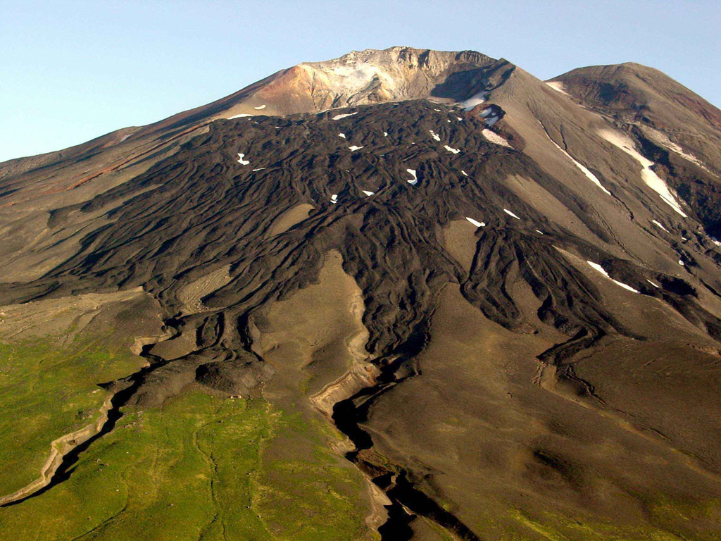
Gareloi in the western Aleutian Islands is seen here from the S. This photo shows lava flows with clear levees from a 1980s eruption. The 8 x 10 km diameter Gareloi Island consists of a stratovolcano with two peaks and a SE-trending fissure that formed during a 1929 eruption and extends to the sea.
Photo by Game McGimsey, 2003 (Alaska Volcano Observatory, U.S. Geological Survey).
![]() This image is made available as a Public Domain Work, but proper attribution is appreciated.
This image is made available as a Public Domain Work, but proper attribution is appreciated.
Galleries: Lava Flows | Craters
Keywords: stratovolcano | lava flow | crater | levee

Gareloi