
| Country | United States |
| Volcanic Region | Basin and Range Volcanic Province |
| Landform | Volc Type | Shield | Shield |
| Last Known Eruption | Pleistocene |
| Coordinates | 41.178°N, 121.445°W |
| Elevation | 1,168 m (3,832 ft) |
| Volcano Number | 323030 |
 Google Earth Placemark with Features Google Earth Placemark with Features
| |
 Cite Volcano Profile Cite Volcano Profile
| |
The Global Volcanism Program has no Weekly Volcanic Activity Reports available for Brushy Butte.
The Global Volcanism Program has no Bulletin Reports available for Brushy Butte.
The Global Volcanism Program has no Weekly Reports available for Brushy Butte.
The Global Volcanism Program has no Bulletin Reports available for Brushy Butte.
|
|
||||||||||||||||||||||||||
The Global Volcanism Program is not aware of any Holocene eruptions from Brushy Butte. If this volcano has had large eruptions (VEI >= 4) prior to 12,000 years ago, information might be found on the Brushy Butte page in the LaMEVE (Large Magnitude Explosive Volcanic Eruptions) database, a part of the Volcano Global Risk Identification and Analysis Project (VOGRIPA).
This compilation of synonyms and subsidiary features may not be comprehensive. Features are organized into four major categories: Cones, Craters, Domes, and Thermal Features. Synonyms of features appear indented below the primary name. In some cases additional feature type, elevation, or location details are provided.
Cones |
||||
| Feature Name | Feature Type | Elevation | Latitude | Longitude |
| Timbered Crater | Tuff ring | 1217 m | 41° 10' 16.00" N | 121° 29' 24.00" W |
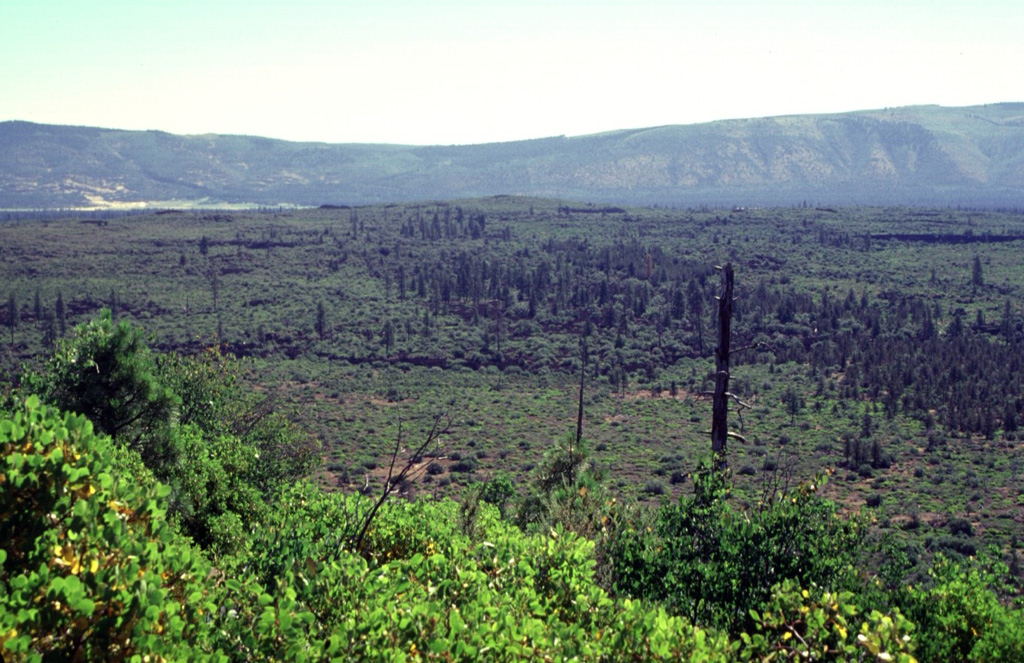
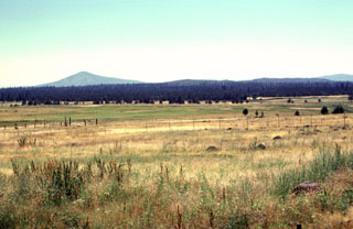
 The sparsely vegetated lava flows in the foreground and the darker-colored forested flows in the middle of the photo were erupted from Brushy Butte, a low shield volcano capped by a cinder cone. The flows extend down the Falls River valley to the south. The two larger peaks in the right background, located south of the town of Fall River Mills, are Bald Mountain and Cinder Butte.
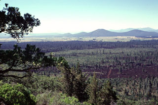
 The broad inconspicuous volcano in the center of the photo is Brushy Butte, a small shield volcano SSE of the Medicine Lake Highlands. The Brushy Butte complex has produced a broad apron of basaltic lava flows, seen here from Timbered Crater with the Big Valley Mountain fault scarp in the background. Fresh-looking flows extend preferentially down the regional gradient to the south as far as the Falls River valley, but the age of Brushy Butte is not well known. The volcano may be of late-Pleistocene or early Holocene age.
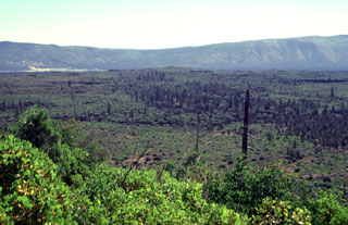
 The forested area extending across the middle of the photo is a series of lava flows erupted from the low Brushy Butte shield volcano between Medicine Lake and Lassen volcanoes. In this view from Little Hot Springs Valley to the NW, Soldier Mountain is the prominent peak in the background, Brushy Butte forms a barely detectable topographic high on the center horizon, and flat-topped Timbered Crater is an older Pleistocene crater near the rifht margin of the photo.
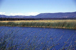 A series of lava flows erupted from Brushy Butte volcano form the dark forested line extending across the photo below the Big Valley Mountain fault scarp in the background. Lava Springs State Park north of the town of MacArthur marks the location of numerous springs that issue from the margin of the Brushy Butte lava flows to form Big Lake, the Little Tule River, and Falls River.
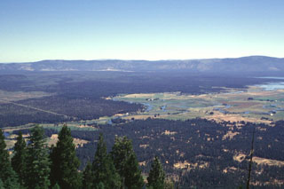 The broad forested area in the center of the photo, below the Big Valley Mountain fault scarp on the horizon, is a series of youthful lava flows erupted from Brushy Butte, a small low shield volcano barely distinguishable in this photo. Big Lake, at the extreme right, was formed by numerous springs issuing from the margin of the basaltic lava flows. This view from the SW is from the summit of Soldier Mountain.
There are no samples for Brushy Butte in the Smithsonian's NMNH Department of Mineral Sciences Rock and Ore collection.
| Copernicus Browser | The Copernicus Browser replaced the Sentinel Hub Playground browser in 2023, to provide access to Earth observation archives from the Copernicus Data Space Ecosystem, the main distribution platform for data from the EU Copernicus missions. |
|
WOVOdat
Single Volcano View Temporal Evolution of Unrest Side by Side Volcanoes |
WOVOdat is a database of volcanic unrest; instrumentally and visually recorded changes in seismicity, ground deformation, gas emission, and other parameters from their normal baselines. It is sponsored by the World Organization of Volcano Observatories (WOVO) and presently hosted at the Earth Observatory of Singapore.
GVMID Data on Volcano Monitoring Infrastructure The Global Volcano Monitoring Infrastructure Database GVMID, is aimed at documenting and improving capabilities of volcano monitoring from the ground and space. GVMID should provide a snapshot and baseline view of the techniques and instrumentation that are in place at various volcanoes, which can be use by volcano observatories as reference to setup new monitoring system or improving networks at a specific volcano. These data will allow identification of what monitoring gaps exist, which can be then targeted by remote sensing infrastructure and future instrument deployments. |
| EarthScope Consortium SAGE seismic stations/networks | EarthScope Consortium operates the NSF Geodetic Facility for the Advancement of Geoscience (GAGE) and NSF Seismological Facility for the Advancement of Geoscience (SAGE). The linked map shows the location of seismic stations from all available networks (permanent or temporary) within a radius of 0.18° (about 20 km at mid-latitudes) from the given location of Brushy Butte. Users can customize a variety of filters and options in the left panel. Note that if there are no stations are known the map will default to show the entire world with a "No data matched request" error notice. |
| Large Eruptions of Brushy Butte | Information about large Quaternary eruptions (VEI >= 4) is cataloged in the Large Magnitude Explosive Volcanic Eruptions (LaMEVE) database of the Volcano Global Risk Identification and Analysis Project (VOGRIPA). |
| EarthChem | EarthChem develops and maintains databases, software, and services that support the preservation, discovery, access and analysis of geochemical data, and facilitate their integration with the broad array of other available earth science parameters. EarthChem is operated by a joint team of disciplinary scientists, data scientists, data managers and information technology developers who are part of the NSF-funded data facility Integrated Earth Data Applications (IEDA). IEDA is a collaborative effort of EarthChem and the Marine Geoscience Data System (MGDS). |

