Global Volcanism Program | Image GVP-06603
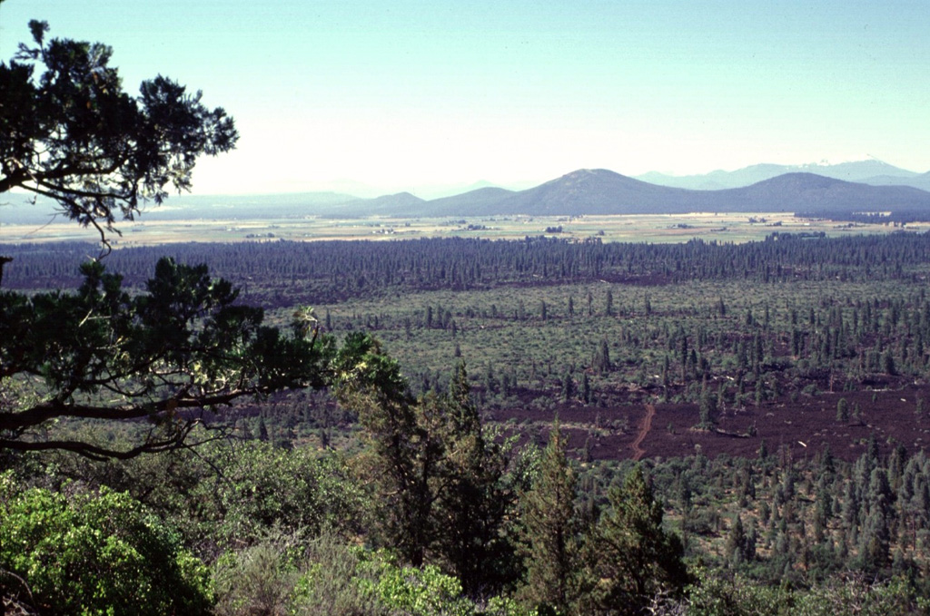
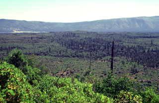
The sparsely vegetated lava flows in the foreground and the darker-colored forested flows in the middle of the photo were erupted from Brushy Butte, a low shield volcano capped by a cinder cone. The flows extend down the Falls River valley to the south. The two larger peaks in the right background, located south of the town of Fall River Mills, are Bald Mountain and Cinder Butte.
Photo by Lee Siebert, 1998 (Smithsonian Institution).
![]() This image is made available under the Public Domain Dedication CC0 license, but proper attribution is appreciated.
This image is made available under the Public Domain Dedication CC0 license, but proper attribution is appreciated.
Brushy Butte