Report on Pagan (United States) — September 1988
Scientific Event Alert Network Bulletin, vol. 13, no. 9 (September 1988)
Managing Editor: Lindsay McClelland.
Pagan (United States) Satellite data on August eruption; renewed ash emission
Please cite this report as:
Global Volcanism Program, 1988. Report on Pagan (United States) (McClelland, L., ed.). Scientific Event Alert Network Bulletin, 13:9. Smithsonian Institution. https://doi.org/10.5479/si.GVP.SEAN198809-284170
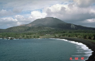
Pagan
United States
18.13°N, 145.8°E; summit elev. 570 m
All times are local (unless otherwise noted)
Satellites provided additional plume heights and lengths 24-25 August (table 2). A press report described an ash eruption that began suddenly on 11 October at 0930. The ash cloud was about 3 km high and extended roughly 40 km.
Table 2. Satellite-derived estimates of altitudes, lengths, and azimuths of plumes from Pagan, August 1988. Courtesy of NOAA/NESDIS.
| Imagery Date | Time | Estimated Altitude | Estimated Length | Estimated Azimuth |
| 24 Aug 1988 | 0917 | 2 km | 95 km | 270° |
| 25 Aug 1988 | 0606 | 3.3 km | 122 km | 313° |
| 26 Aug 1988 | 0838 | 33-45 km | 102 km | 282° |
Geological Summary. Pagan Island, the largest and one of the most active of the Mariana Islands volcanoes, consists of two stratovolcanoes connected by a narrow isthmus. Both North and South Pagan stratovolcanoes were constructed within calderas, 7 and 4 km in diameter, respectively. North Pagan at the NE end of the island rises above the flat floor of the northern caldera, which may have formed less than 1,000 years ago. South Pagan is a stratovolcano with an elongated summit containing four distinct craters. Almost all of the recorded eruptions, which date back to the 17th century, have originated from North Pagan. The largest eruption during historical time took place in 1981 and prompted the evacuation of the sparsely populated island.
Information Contacts: M. Matson, NOAA; N. Banks, CVO; Marianas Variety.