Global Volcanism Program | Image GVP-00615
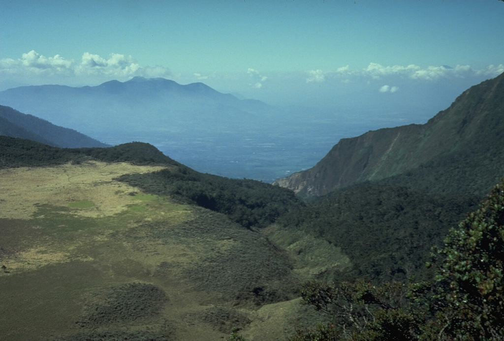
The flat area to the left is Alun-Alun, the uppermost of four large craters on Papandayan volcano. The v-shaped valley in the center of the photo extending to the NE is the breach left by collapse of Papandayan volcano in 1772. The volcano in the distance on the left horizon is Gunung Guntur, another historically active volcano bordering the Garut Plain.
Photo by Tom Casadevall, 1986 (U.S. Geological Survey).
![]() This image is made available as a Public Domain Work, but proper attribution is appreciated.
This image is made available as a Public Domain Work, but proper attribution is appreciated.
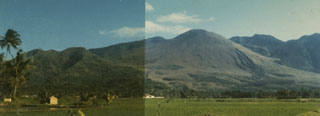
Papandayan
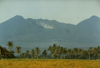
Guntur