Image GVP-00967
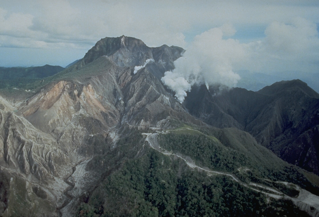
An aerial view of the north flank of Pinatubo shows the area devastated by explosions on 2 April 1991. This eruption was the first in a progressively intensifying series of eruptions that led to caldera formation on 15 June. The road in the foreground provided access to a geothermal drill station.
Photo by Chris Newhall, 1991 (U.S. Geological Survey).
![]() This image is made available as a Public Domain Work, but proper attribution is appreciated.
This image is made available as a Public Domain Work, but proper attribution is appreciated.

Pinatubo