Image GVP-00990
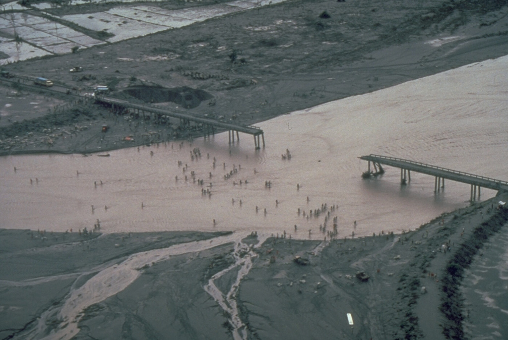
Residents in this July 1991 photo had to cross the shallow Santo Tomás River, SW of Pinatubo, on foot after lahars (volcanic mudflows) destroyed the bridge between the villages of San Rafael and Santa Fe. Devastating lahars affected broad lowland areas on all sides of Pinatubo in the years following the 1991 eruption.
Photo by Chris Newhall, 1991 (U.S. Geological Survey).
![]() This image is made available as a Public Domain Work, but proper attribution is appreciated.
This image is made available as a Public Domain Work, but proper attribution is appreciated.
Galleries: Lahars | Human Impacts
Keywords: damaged structures | damaged roads | lahar | human impacts | environmental impact

Pinatubo