Global Volcanism Program | Image GVP-01605
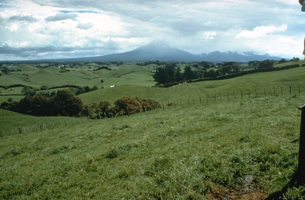
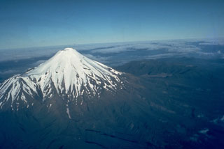
The pasture-covered, hilly terrain in the foreground is part of a vast ring plain of debris avalanche and lahar deposits surrounding Mount Taranaki. Repetitive collapse of the volcano during the late Pleistocene and Holocene produced debris avalanches that reached the W coast, nearly 40 km away.
Photo by Dan Miller (U.S. Geological Survey).
![]() This image is made available as a Public Domain Work, but proper attribution is appreciated.
This image is made available as a Public Domain Work, but proper attribution is appreciated.
Galleries: Stratovolcanoes
Keywords: stratovolcano
Taranaki