Image GVP-01923
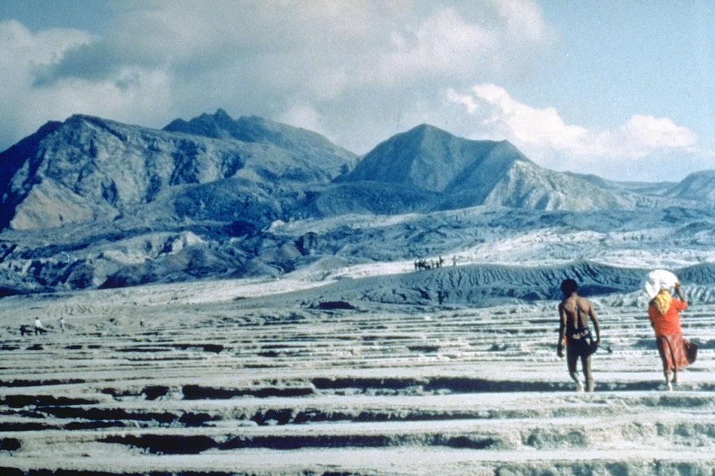
An Aeta couple returns to inspect their land along the Maraunot River on the NW flank of Pinatubo following the catastrophic eruption of 15 June 1991. At least 10,000 members of the nomadic Aeta peoples, whose native lands were on the slopes of Pinatubo, were displaced by the eruption.
Photo by Ray Punongbayan (Philippine Institute of Volcanology and Seismology).
![]() This image is made available as a Public Domain Work, but proper attribution is appreciated.
This image is made available as a Public Domain Work, but proper attribution is appreciated.
Keywords: ashfall | human impacts | tephra | environmental impact | ash

Pinatubo