Global Volcanism Program | Image GVP-02031
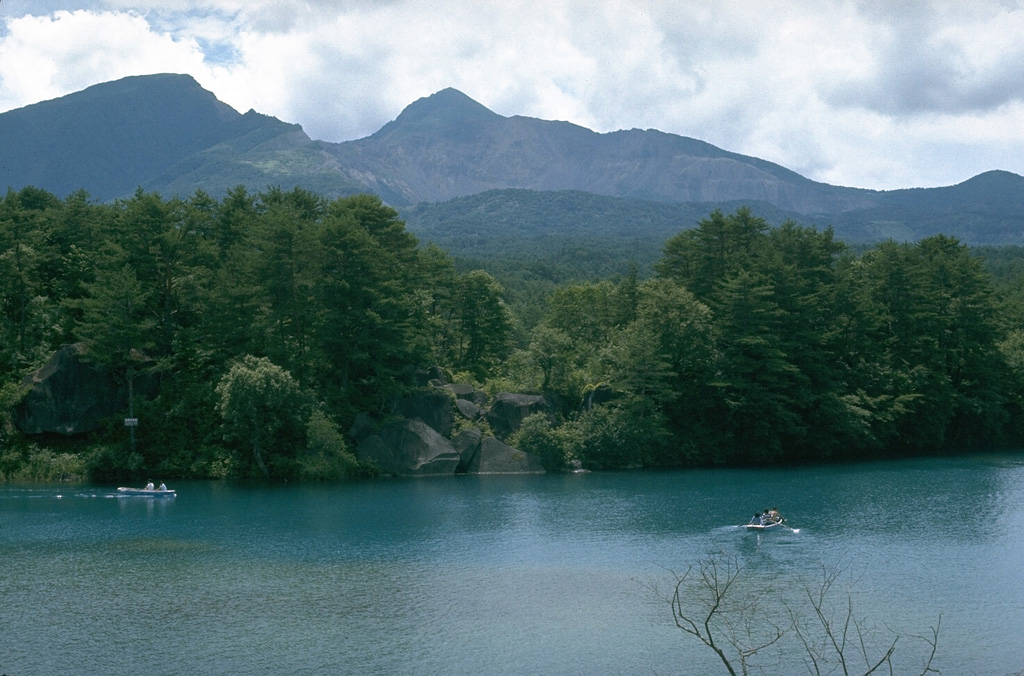
Collapse of the summit of Kobandaisan peak during a phreatic eruption at Bandaisan volcano in 1888 created the 1.5 x 2 km scarp seen here. The lake in the foreground was formed on the irregular surface of a 1.5 km3 debris avalanche deposit. The avalanche buried several villages and blocked river drainages, forming several new lakes. Ashfall from the eruption reached the Pacific coast of Honshu.
Photo by Lee Siebert, 1988 (Smithsonian Institution).
![]() This image is made available under the Public Domain Dedication CC0 license, but proper attribution is appreciated.
This image is made available under the Public Domain Dedication CC0 license, but proper attribution is appreciated.
Galleries: Debris Avalanches / Landslides
Keywords: landslide scarp | environmental impact | debris avalanche deposit
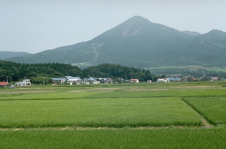
Bandaisan