Image GVP-02537
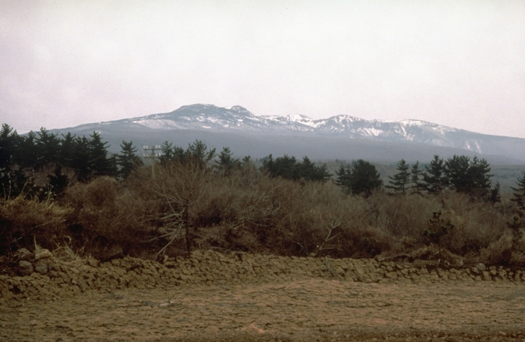
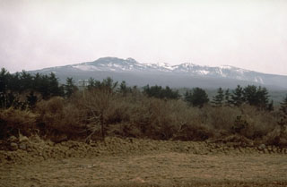
The massive Halla shield volcano, seen here from the south, forms much of the 40 x 80 km Cheju Island, which lies 90 km S of the Korean Peninsula. More than 360 late-Pleistocene and Holocene basaltic cones on the flanks of the low-angle volcano were erupted primarily along the long axis of the NE-SW-trending island. Most of these are scoria cones, but about 10 along the coast are Pleistocene tuff rings and tuff cones. Flank eruptions continued into historical time, with the final two taking place during the 11th century.
Photo by Norm Banks, 1980 (U.S. Geological Survey).
![]() This image is made available as a Public Domain Work, but proper attribution is appreciated.
This image is made available as a Public Domain Work, but proper attribution is appreciated.
Keywords: shield volcano
Halla