Image GVP-02612
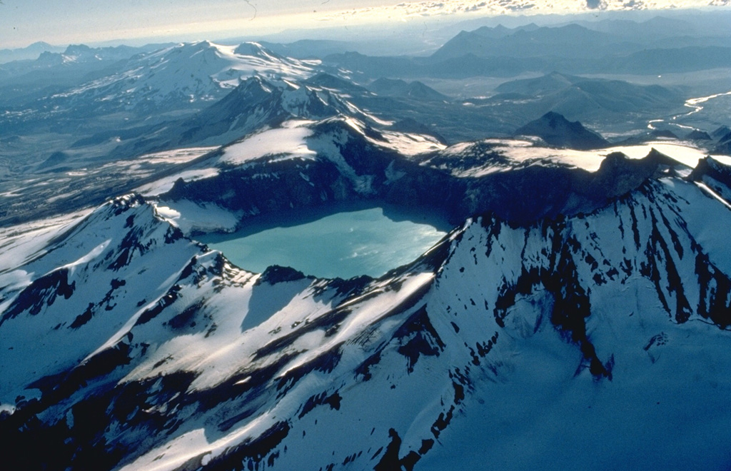
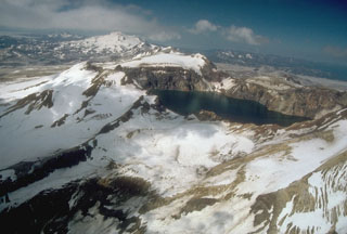
This 1978 aerial view from the NE looks down the SW-trending chain of closely spaced volcanoes in Katmai National Park. Katmai volcano, in the foreground, is truncated by a 4.5-km-wide caldera created by collapse of the volcano in 1912 at the time of the major eruption at Novarupta volcano, 10 km to the west and below the far rim of Katmai caldera. Beyond Katmai, in line with the 250-m-deep caldera lake, are the dark-colored peaks of the Trident complex and the broad, glacier-covered slopes of Mageik volcano.
Copyrighted photo by Katia and Maurice Krafft, 1978.
Copyrighted image used with permission. All Rights Reserved. Contact photographer for any usage requests.
Novarupta
Katmai