Image GVP-02726
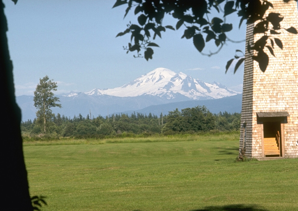
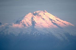
Mount Baker, seen here from the dairy farms of Whatcom County to the west, is a prominent landmark visible from much of NW Washington and SW British Columbia. Nineteenth-century eruptions were visible from as far away as Victoria Island across the Puget Sound.
Photo by Lee Siebert, 1972 (Smithsonian Institution).
![]() This image is made available under the Public Domain Dedication CC0 license, but proper attribution is appreciated.
This image is made available under the Public Domain Dedication CC0 license, but proper attribution is appreciated.
Galleries: Stratovolcanoes
Keywords: stratovolcano
Baker