Image GVP-02740
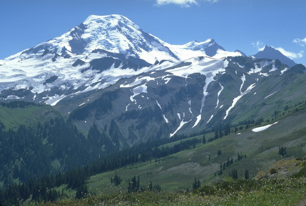
The north flank of Mount Baker is seen from Skyline Divide with the two peaks of the Pleistocene Black Buttes on the right horizon. Chowder Ridge extends across the middle of the image in front of Black Buttes towards Mt. Hadley, the peak below the flat-topped Mount Baker summit. The ridge is named for its marine brachiopod fossils and contains numerous dikes, the feeders for a large early and mid-Pleistocene volcanic center that has been almost entirely eroded away by Pleistocene continental ice sheets.
Photo by Lee Siebert, 1979 (Smithsonian Institution).
![]() This image is made available under the Public Domain Dedication CC0 license, but proper attribution is appreciated.
This image is made available under the Public Domain Dedication CC0 license, but proper attribution is appreciated.
Galleries: Stratovolcanoes
Keywords: stratovolcano
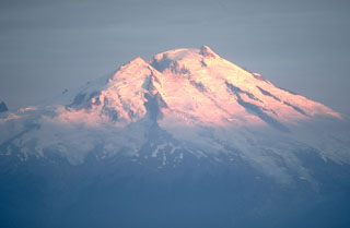
Baker