Image GVP-03019
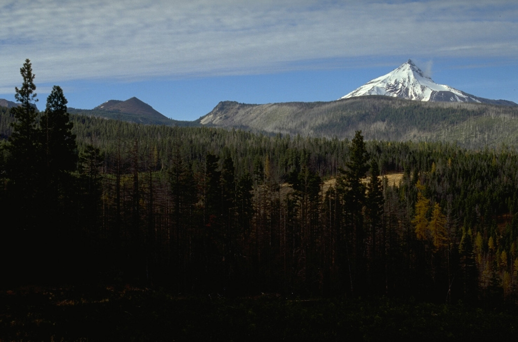
Forked Butte, the scoria cone on the left skyline south of snow-capped Mount Jefferson, formed about 6,500 years ago. It produced lava that flowed from the notch to the right of Forked Butte down valleys on both sides of Sugar Pine Ridge that forms the right skyline. The southern lobe traveled 8 km to the west down Cabot Creek below Sugar Pine Ridge.
Photo by Lee Siebert, 1995 (Smithsonian Institution).
![]() This image is made available under the Public Domain Dedication CC0 license, but proper attribution is appreciated.
This image is made available under the Public Domain Dedication CC0 license, but proper attribution is appreciated.
Keywords: scoria cone | stratovolcano | lava flow | deposit | lava lobe
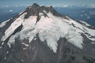
Jefferson