Global Volcanism Program | Image GVP-03283
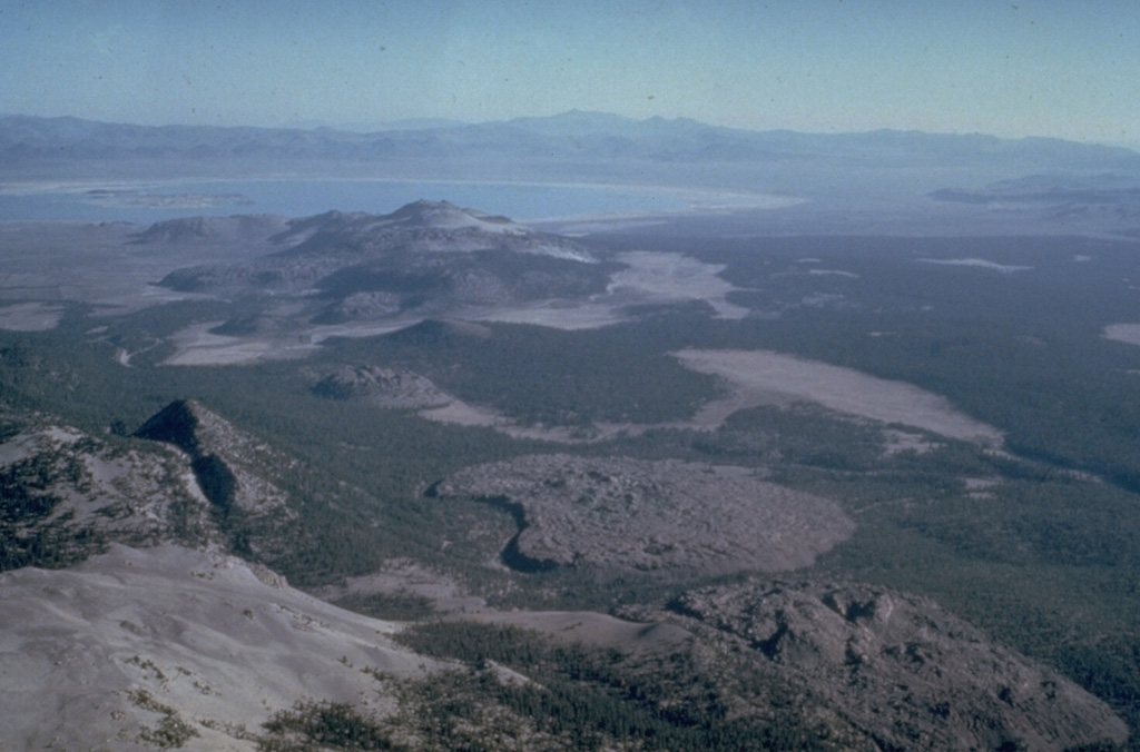
The Mono Craters volcanic field south of Mono Lake at the upper left, is a 17-km-long arcuate chain of rhyolitic lava domes and thick, viscous lava flows. Mono Craters has been frequently active throughout the Holocene, along with the Inyo Craters chain to the south. The Inyo Craters chain, which includes the Wilson Butte, Obsidian and Glass Creek domes, which are oriented diagonally along a N-S line from the left center to lower right of the photo. The latest eruptions of Mono Craters and Inyo Craters occurred nearly simultaneously around 600 years ago.
Photo by Roy Bailey, 1980 (U.S. Geological Survey).
![]() This image is made available as a Public Domain Work, but proper attribution is appreciated.
This image is made available as a Public Domain Work, but proper attribution is appreciated.
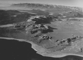
Mono-Inyo Craters