Global Volcanism Program | Image GVP-03625
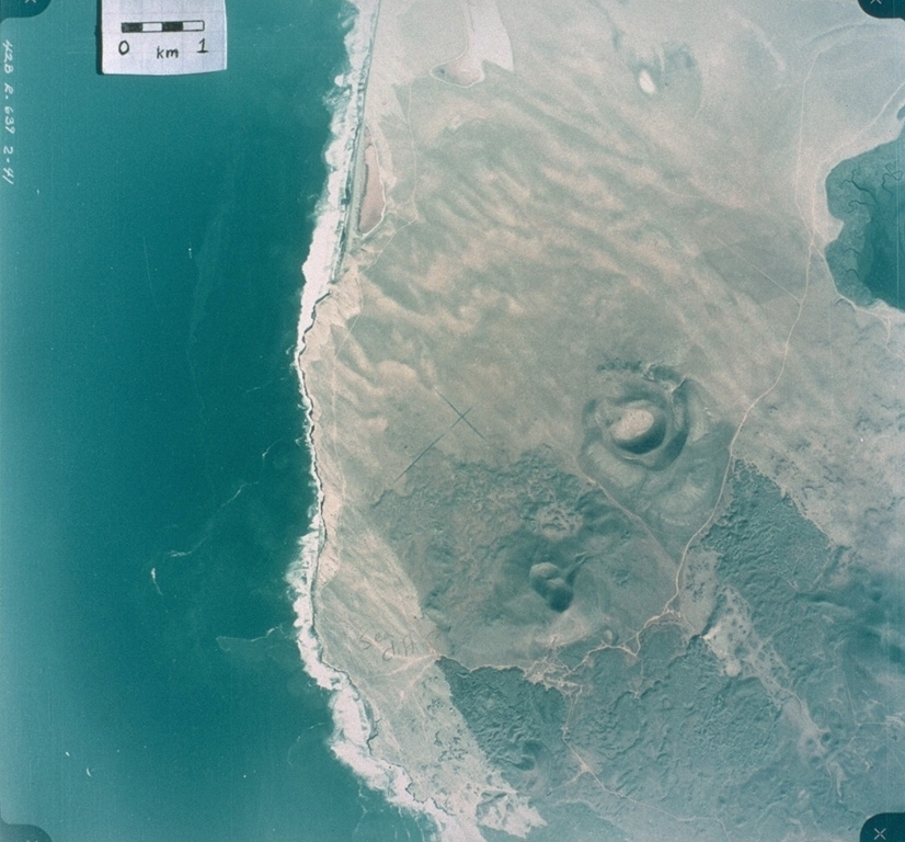
This 1978 aerial photo shows the nested craters of Volcán Riveroll (right-center) and the intersecting craters of Volcán Basu (below and to the left). The Riveroll craters open towards the NW (upper left). The darker basaltic lava flows extend to the SE from both cone complexes. The flow from Riveroll diverts around the Kenton scoria cone (edge of image at the lower right). The lighter areas are windblown sand. the Pacific coast shoreline is to the left, and the body of water to the upper right is part of San Quintín Bay.
Aerial photo by Comisión de Estudios del Territorio Nacional (CETENAL), 1:25,000, 1978.
![]() This image is made available under the Public Domain Dedication CC0 license, but proper attribution is appreciated.
This image is made available under the Public Domain Dedication CC0 license, but proper attribution is appreciated.
Keywords: scoria cone | volcanic field | crater
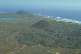
San Quintín Volcanic Field