
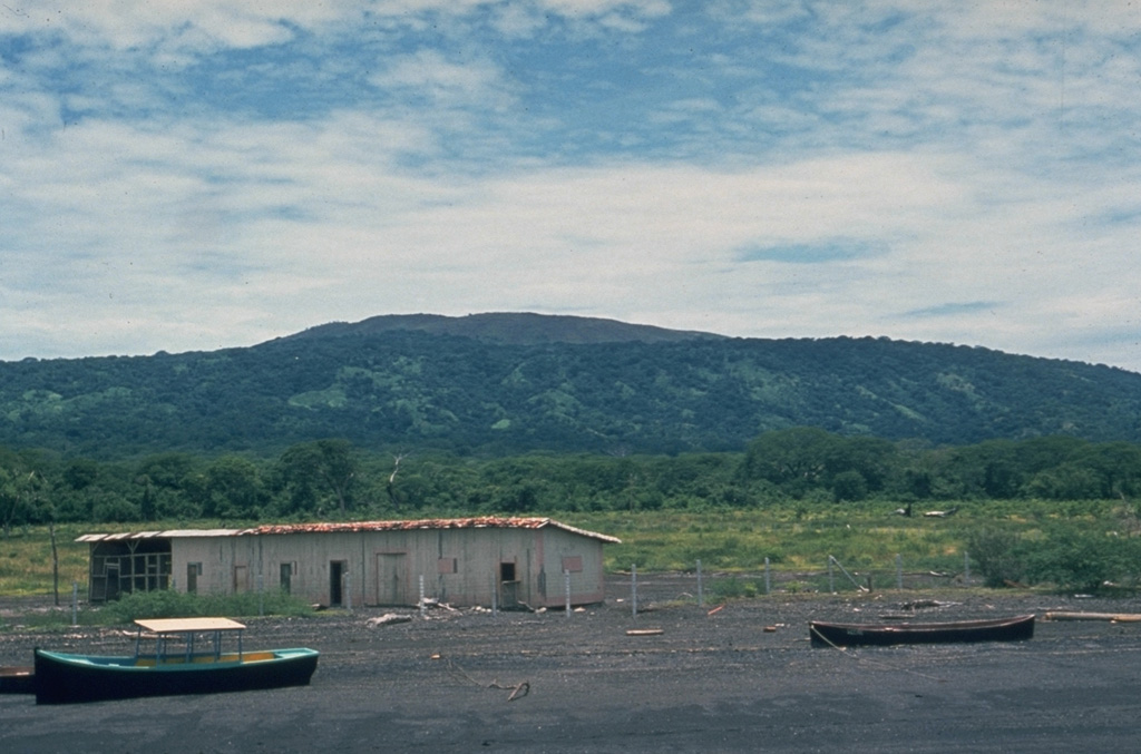
The profile of Cosigüina is not particularly impressive when viewed from its NE flank along the coast of the Gulf of Fonseca near the town of Potosí. The broad low-angle slopes of Cosigüina rise only 872 m above the coast and give little hint of the dramatic caldera that cuts the summit. Pyroclastic flows from the 1835 eruption reached the northern coast of the 20-km-wide Cosigüina Peninsula and formed new ephemeral islands in the Gulf of Fonseca.
Photo by Dick Stoiber, 1978 (Dartmouth College).
 This image is made available under the Creative Commons BY-NC 4.0 license terms.


 Cosigüina