Global Volcanism Program | Image GVP-04570
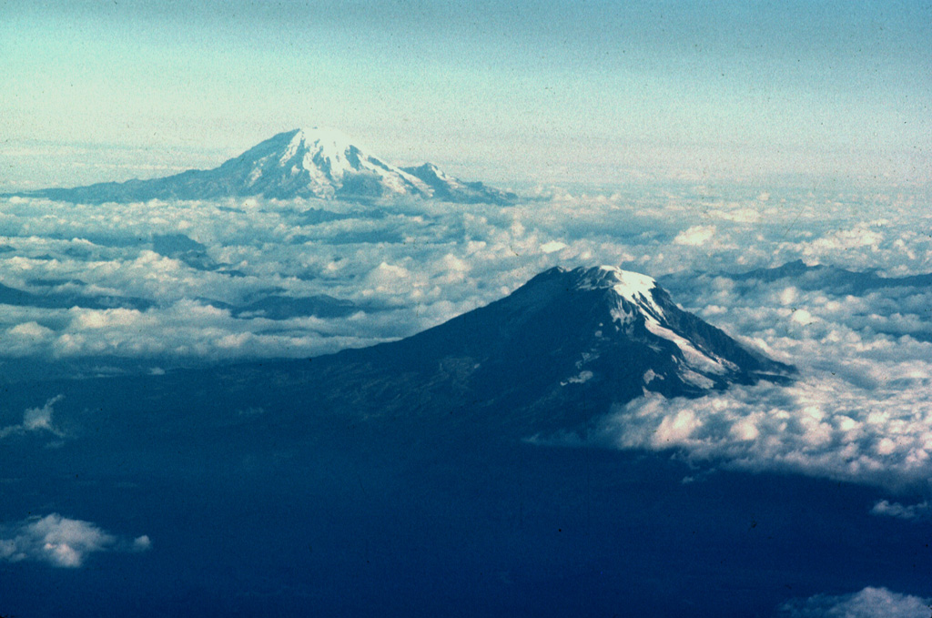
Mount Adams (lower right) and Mount Rainier are the two southernmost of a N-S-trending chain of large stratovolcanoes in the Cascade Range of Washington state. Adams Glacier can be seen descending to the SE from the summit icecap of Mount Adams in this aerial view from the south. The 1,250 km2 Mount Adams volcanic field contains numerous flank cones and lava flows, several of which erupted during the Holocene. Mount Rainier, Washington's highest peak, has been less active during the Holocene, but erupted during the 19th century.
Photo by Lee Siebert, 1980 (Smithsonian Institution).
![]() This image is made available under the Public Domain Dedication CC0 license, but proper attribution is appreciated.
This image is made available under the Public Domain Dedication CC0 license, but proper attribution is appreciated.
Adams
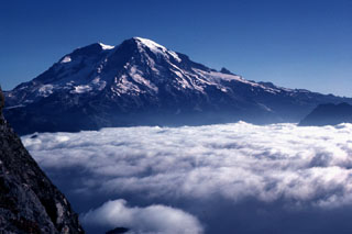
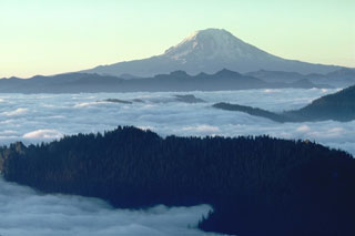
Rainier