Image GVP-05498
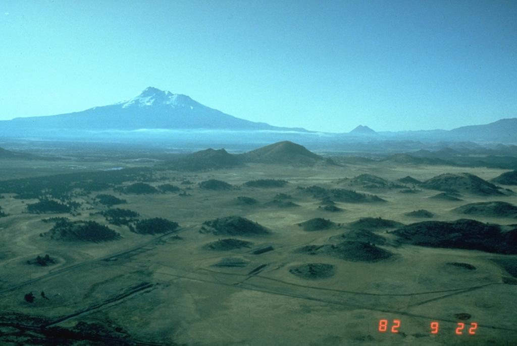
The hilly topography in the foreground is part of the massive debris avalanche deposit produced by collapse of Mount Shasta (in the background) during the Pleistocene. These hummocks represent relatively intact blocks of the volcano that were carried within a more mobile landslide matrix (smaller blocks and grains, snow and ice, and anything entrained during transportation). The debris avalanche covered an area of about 675 km2, reaching at least 45 km NNE.
Photo by Harry Glicken, 1982 (U.S. Geological Survey).
![]() This image is made available as a Public Domain Work, but proper attribution is appreciated.
This image is made available as a Public Domain Work, but proper attribution is appreciated.
Galleries: Debris Avalanches / Landslides
Keywords: debris avalanche deposit | stratovolcano | hummock | deposit
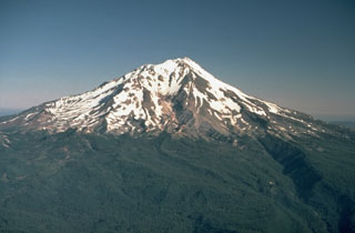
Shasta